


Rangamati (Most Popular Heritage)

[{"address":"Sayedabad Bus Terminal","location":{"longitudeDelta":0.14321712068773834,"latitudeDelta":0.09219986310369421,"latitude":23.716733506976496,"longitude":90.42726349999998},"media":[{"type":"link","content":"www.rangamati.gov.bd"},{"metadata":{"width":800,"height":450},"type":"img","version":1,"content":"https://firebasestorage.googleapis.com/v0/b/freeguides-prod.appspot.com/o/assets%2Ftours%2FciR89A8MbIWK8SNYmt0t%2FSayedabad%20Bus%20Terminal.jpg?alt=media&token=5c77fc06-a688-4b68-91f6-ae63e51cbeb3"},{"type":"text","content":"Starting Point From Sayedabad Bust Terminal."}]},{"address":"Mostofa Kamal Gate","location":{"longitudeDelta":0.14321712068773834,"latitudeDelta":0.09219986310369421,"latitude":23.47870670689792,"longitude":91.11269795},"media":[{"metadata":{"width":1000,"height":698},"type":"img","version":1,"content":"https://firebasestorage.googleapis.com/v0/b/freeguides-prod.appspot.com/o/assets%2Ftours%2FciR89A8MbIWK8SNYmt0t%2FKamal%20Gate.JPG?alt=media&token=e548b68c-c0ea-45dc-8286-6ffb8c545bca"},{"type":"link","content":"www.rangamati.gov.bd"},{"type":"text","content":"Mostofa Kamal Gate "}]},{"address":"Sunset Point, Bhatiari","location":{"longitudeDelta":0.14321712068773834,"latitudeDelta":0.09219986310369421,"latitude":22.427757306554394,"longitude":91.7574265},"media":[{"metadata":{"width":1000,"height":489},"type":"img","version":1,"content":"https://firebasestorage.googleapis.com/v0/b/freeguides-prod.appspot.com/o/assets%2Ftours%2FciR89A8MbIWK8SNYmt0t%2FBhatiari-Lake.JPG?alt=media&token=d9ded522-2325-4f8f-9e97-d96e3bc7ced9"},{"metadata":{"width":1000,"height":750},"type":"img","version":1,"content":"https://firebasestorage.googleapis.com/v0/b/freeguides-prod.appspot.com/o/assets%2Ftours%2FciR89A8MbIWK8SNYmt0t%2FSunset%20Point.jpg?alt=media&token=e31803ba-9737-437b-b64f-e76d0f3f19c1"},{"type":"link","content":"Sunset Point, Bhatiari"},{"type":"text","content":"Sunset Point, Bhatiari"},{"type":"link","content":"www.rangamati.gov.bd"}]},{"address":"Ranir Haat","location":{"longitudeDelta":0.14321712068773834,"latitudeDelta":0.09219986310369421,"latitude":22.57205130499858,"longitude":92.04067829632068},"media":[{"type":"link","content":"www.rangamati.gov.bd"},{"metadata":{"width":348,"height":145},"type":"img","version":1,"content":"https://firebasestorage.googleapis.com/v0/b/freeguides-prod.appspot.com/o/assets%2Ftours%2FciR89A8MbIWK8SNYmt0t%2Fimages.jpg?alt=media&token=5fde57c2-d536-4cd6-be84-b6adb5c99306"},{"type":"text","content":"Ranir Haat College"},{"metadata":{"width":320,"height":240},"type":"img","version":1,"content":"https://firebasestorage.googleapis.com/v0/b/freeguides-prod.appspot.com/o/assets%2Ftours%2FciR89A8MbIWK8SNYmt0t%2F57684781_Et6p0yDT0AWHSTwLgqJCPSSoRa89sonxg4iMuz9cNko.jpg?alt=media&token=e39fffd6-bf2f-48a4-b577-2a6e44481781"}]},{"address":"Rangamati","location":{"longitudeDelta":0.14321712068773834,"latitudeDelta":0.09219986310369421,"latitude":22.65579930638687,"longitude":92.17306134410052},"media":[{"type":"link","content":"www.rangamati.gov.bd"},{"metadata":{"width":434,"height":634},"type":"img","version":1,"content":"https://firebasestorage.googleapis.com/v0/b/freeguides-prod.appspot.com/o/assets%2Ftours%2FciR89A8MbIWK8SNYmt0t%2FR_Bridge.jpg?alt=media&token=c51a416e-ba7a-45c9-8c87-d845b2f1e817"},{"metadata":{"width":1000,"height":489},"type":"img","version":1,"content":"https://firebasestorage.googleapis.com/v0/b/freeguides-prod.appspot.com/o/assets%2Ftours%2FciR89A8MbIWK8SNYmt0t%2FBhatiari-Lake.JPG?alt=media&token=b09b54e8-5b50-48cc-93ba-776060d159db"},{"metadata":{"width":494,"height":720},"type":"img","version":1,"content":"https://firebasestorage.googleapis.com/v0/b/freeguides-prod.appspot.com/o/assets%2Ftours%2FciR89A8MbIWK8SNYmt0t%2Fmaxresdefault.jpg?alt=media&token=ad0b049f-268f-4131-b670-7e5e2f24a82e"},{"type":"text","content":"Last Stop, Rangamati"}]}]
- Self-Guided experience
- Run anytime, anywhere, 24/7, with your own phone
- Self-Guided experience
- Additional expenses such as food and drink
- Transport
Hello, I am a freelancer beside also traveler, I love to visit new place and like to share my experiences to Foreguides. Please support me to share more exclusive place in Bangladesh. and most important suggest me new location to visit.
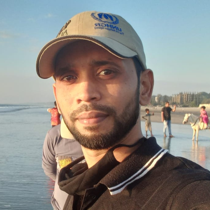)

Hello, I am a freelancer beside also traveler, I love to visit new place and like to share my experiences to Foreguides. Please support me to share more exclusive place in Bangladesh. and most important suggest me new location to visit.

Use your phone to explore a new city or your own home town.

You’re the boss. Start the experience virtually or at the start location. Initiate at a time that works for you.

Each experience is hand made by a real local or organisation who is uniquely knowledgeable.

Extend the relationship with your guests beyond the lobby and into the real world
Follow us on


.svg)
.svg)
.svg)
.svg)
Copyrights ©XXXX FreeGuides. All rights reserved.